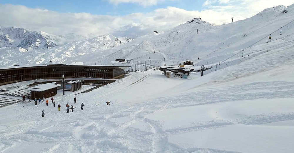
A burst of cold air originating from the Antarctic ice sheet has brought cool temperatures and snow to low levels across the ski areas of New Zealand’s South Island.
Queenstown resorts have received the first hit of snowfalls down low on the mountain ranges with up to 30cm falling on trails at The Remarkables, and Coronet Peak, while Mt.Hutt out of Christchurch received a light cover with meteorologists predicting more snow down to around 400 metres this week.

“We’ve received great early season snowfalls and the chill in the air predicts there is still more snow to come.”
Craig Douglas, General Manager of Marketing at NZSki.

“New Zealand’s MetService noted snow to fall between 400 and 600 metres across some parts of the South Island as the cold front continues. The early snowfalls always create a buzz in the air amongst locals and international guests when they view our webcams on-line, as this is the real indicator winter is coming.”
Should snowfalls be consistent opening dates are scheduled for 12 June at Mt. Hutt, 13 June at Coronet Peak and 20 June at The Remarkables, just in time for the school holidays.

